No verified water points yet. The route research could not confirm a working drinking water point anywhere.
Know a working water point? Send it on WhatsApp (opens in a new tab)Race courses
- Bajaj Pune Marathon, 13 Dec 2026. Course and start area not verified here. Check the official site. Official site (opens in a new tab)
We draw a course only when the organiser publishes one we can verify.
How the map works
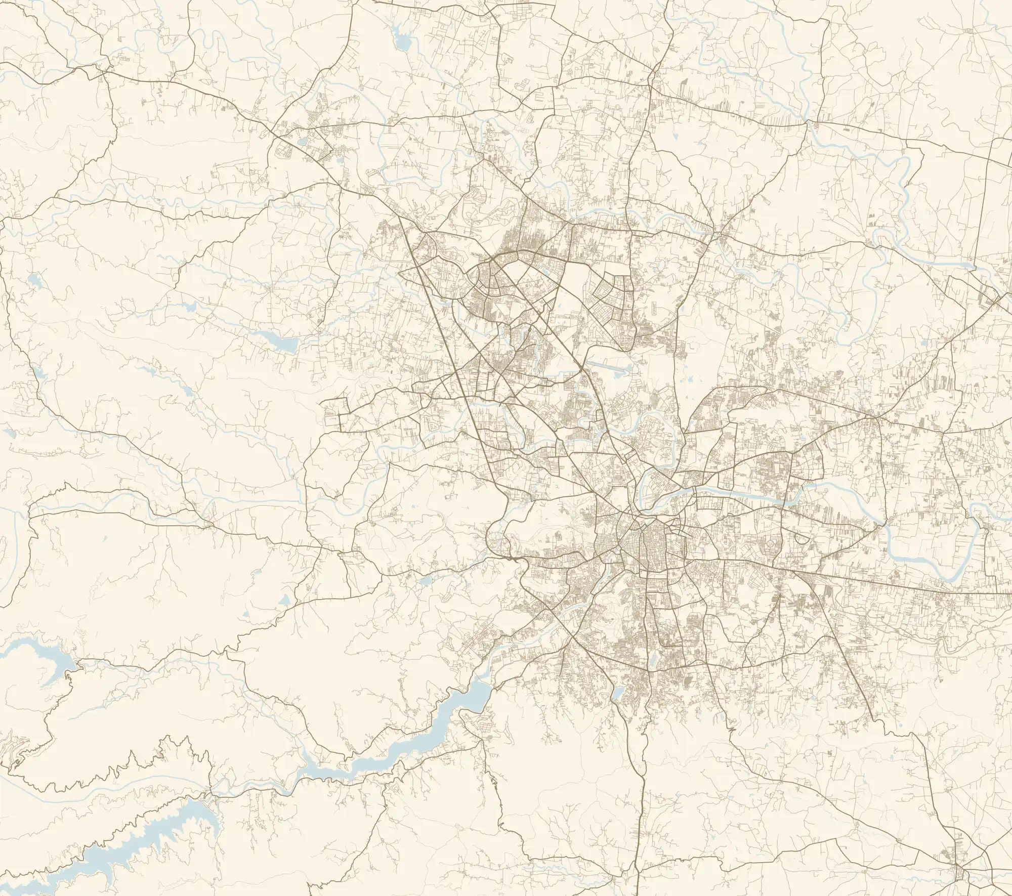
Every runnable street, lane, path and tekdi trail across PMC, PCMC and the fringe, from OpenStreetMap: 16,329 km in all. Motorways, anything marked no foot traffic, parking aisles, driveways and pavements drawn alongside a road are left out, so a street is not counted twice.
As members connect their runs, the streets they cover fill in from maroon to saffron. The headline is the covered street length divided by the total runnable length. It is rebuilt once a day, never live.
Pune is wherever we run. When the tribe runs beyond the edge, the map area grows.
Connect your runs
The map opens when the first members connect their runs. Connecting is opt in only, and needs either read only Strava access or a GPX file you choose to share. Ask in the group to be one of the first.
Ask in the group (opens in a new tab)Privacy
What we use: the GPS line of runs members choose to share, through Strava read only access or a GPX or FIT file.
What we never show: who ran a street, when, or where any run started or finished. The first and last 800 m of every run are dropped, private activities and Strava privacy zones are respected, and a dead end residential street needs two different runners before it is coloured. The site only gets a count per street.
How to opt out: message us in the WhatsApp group (opens in a new tab) and your runs are removed at the next daily rebuild. You can also revoke PuneRunners in your Strava settings at any time.
Locate me reads your position once, on your device. It is never stored or sent anywhere.
Powered by Strava (opens in a new tab). Club: PRC on Strava (opens in a new tab).
Covered localities
No streets covered yet. This list fills in as members connect their runs.
Routes on the map
Route pins mark an approximate area taken from OpenStreetMap names, not a verified trailhead. No route line is drawn until someone shares a verified GPX.
Street data extracted 6 Oct 2026 from OpenStreetMap, © OpenStreetMap contributors (opens in a new tab), available under the Open Database License.